
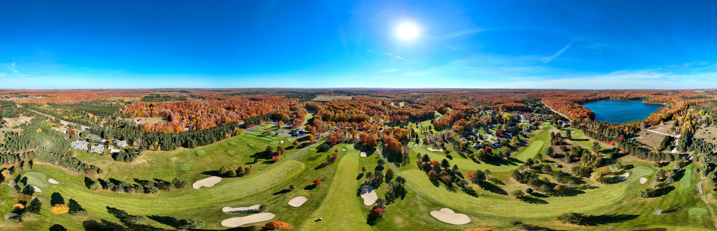
Drone Services
for Golf Courses
Mapping. Marketing. Management.
-
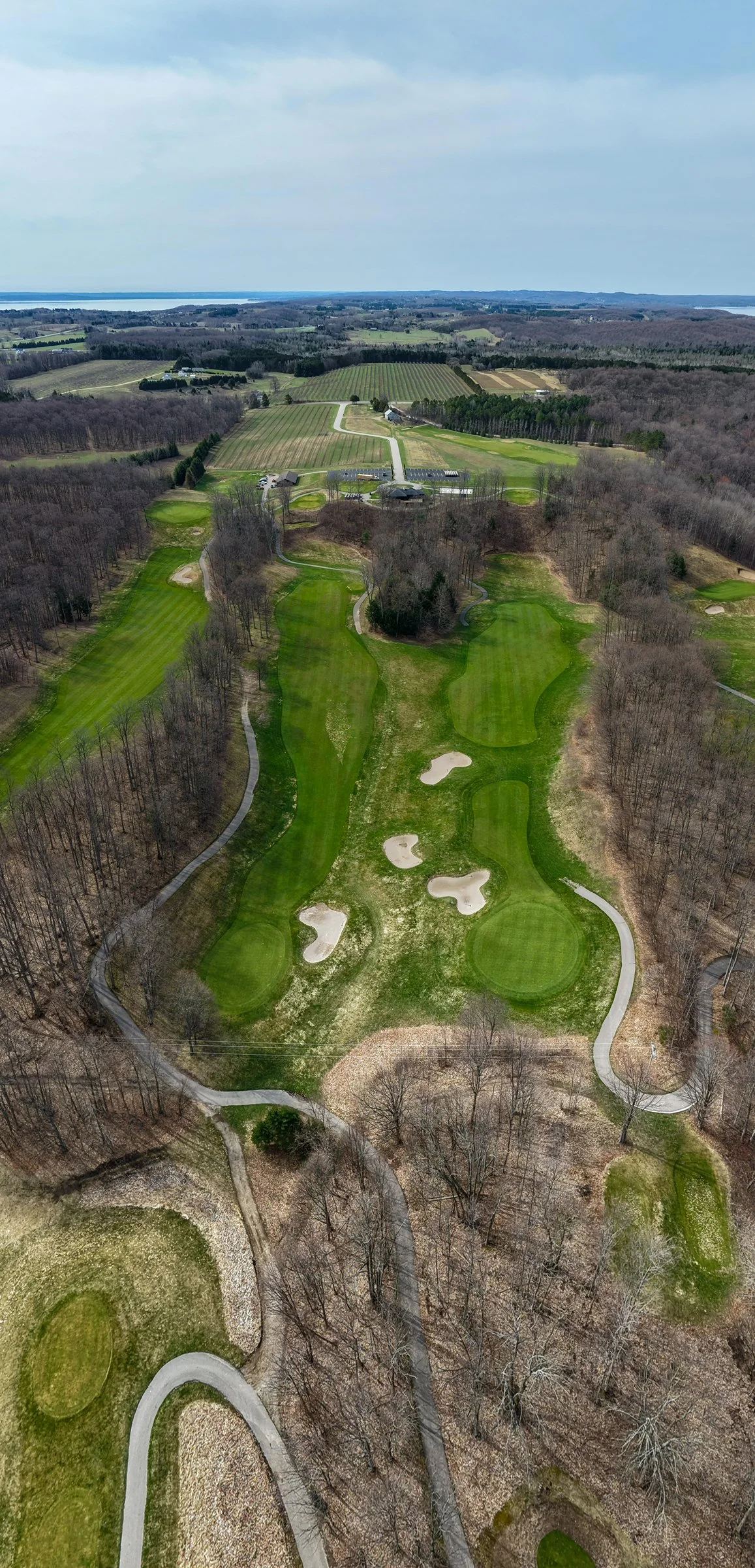
Essential Aerials - $375
25+ high-resolution aerial photos, 3x 360° panoramas, and Google Maps upload included. Ideal for quick seasonal refreshes and smaller courses.
-
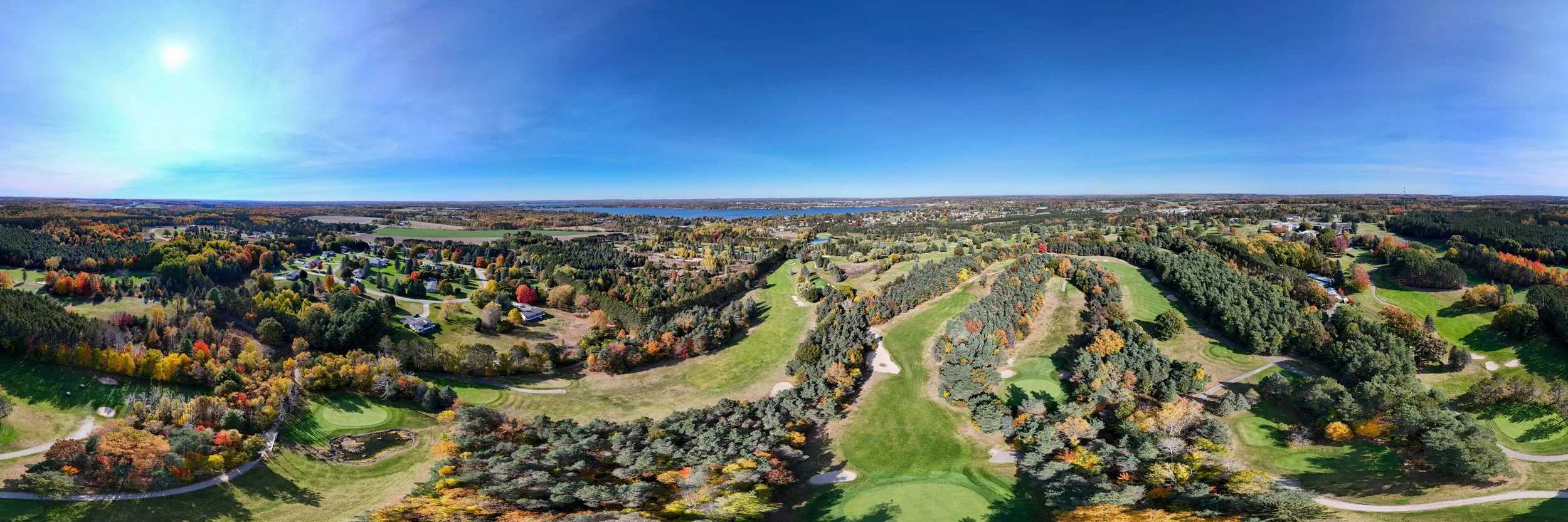
Highlight Reel - $795
Everything in Essential, plus three 15-second vertical reels edited with your branding, music, and text overlays. Ready for Instagram, TikTok, and YouTube Shorts.
-

Premium Mapping - $1,525+
Everything in Highlight Reel, plus RTK-enabled high-resolution orthomosaic mapping. Delivered as georeferenced files and web images. First 25 acres included.
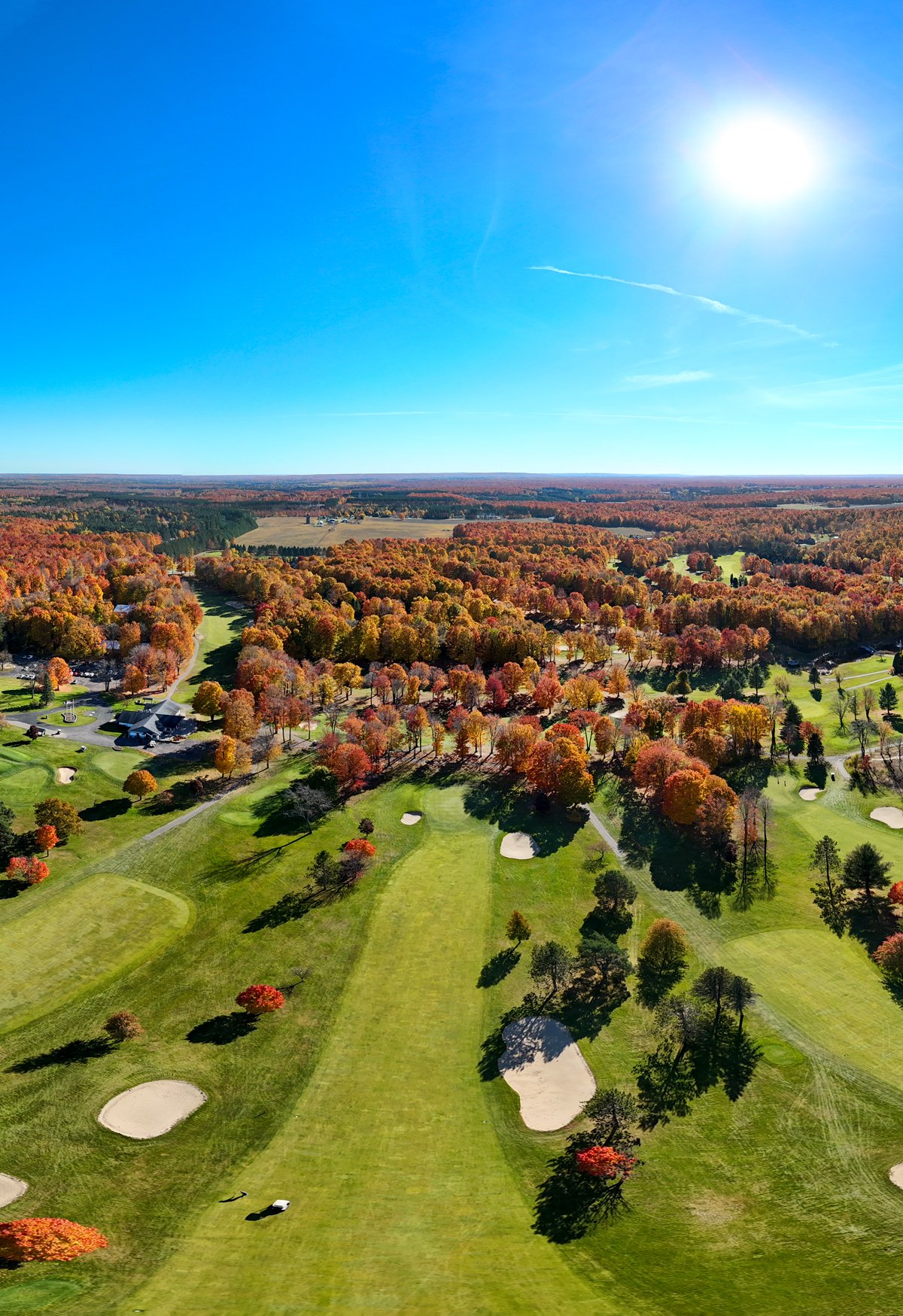
Capture your course at peak fall colors.
Bookings are limited.
All operations are conducted under FAA Part 107 with full insurance. Thumb Drone LLC provides aerial mapping for visualization and documentation only. We are not a licensed surveyor. For survey-grade requirements, please consult a licensed surveying professional.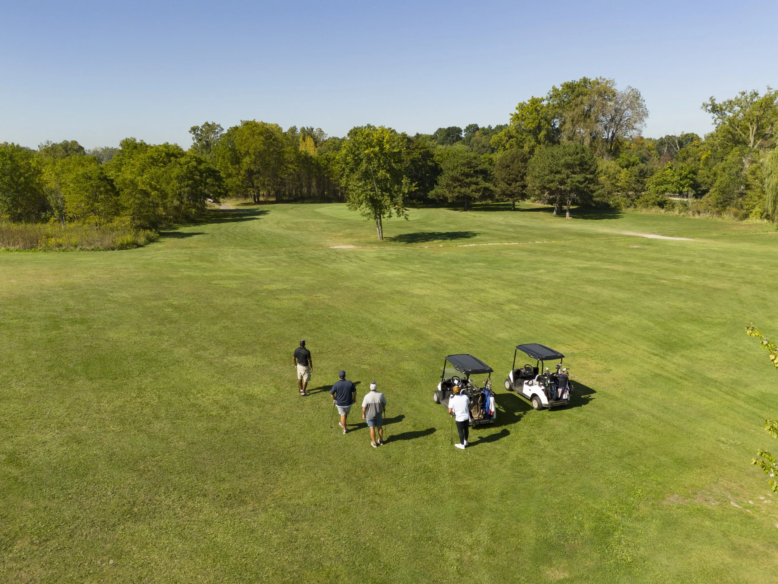
Everything You Need to Know Before Booking
-
Most shoots take 2 to 4 hours depending on the package and course size. Larger projects that include mapping or multiple reels may take longer, but we schedule to minimize disruption to golfers and staff.
-
No. Ideally flights are planned around your tee sheet and designed to be safe and discreet. We coordinate with your team in advance to avoid peak times and follow all FAA regulations to ensure a smooth experience.
-
Content is yours to use for marketing, social media, websites, digital ads, print brochures, and in-club displays. Many clubs use the footage to boost memberships, promote fall events, and enhance their online presence.
-
Yes. Our RTK-enabled drones create ultra high-resolution aerial maps of your course. These maps are excellent for vegetation management, planning renovations, insurance documentation, and showcasing your layout online.
-
Safety and quality come first. If weather is poor, we reschedule at no additional cost to ensure you get the best fall visuals possible. Flexible backup dates are always built into the booking process.
-
Yes. Thumb Drone LLC is FAA Part 107 certified and fully insured. We follow strict safety protocols for operations over golf courses and have experience working with both private clubs and public resorts.
-
Most projects are delivered within 5 to 7 business days. Rush delivery is available if you need content faster for an event or promotion.
-
It varies by region and tree species. Dates vary based on location and we can hold a backup window if conditions shift.