Building Progress from
a New Perspective
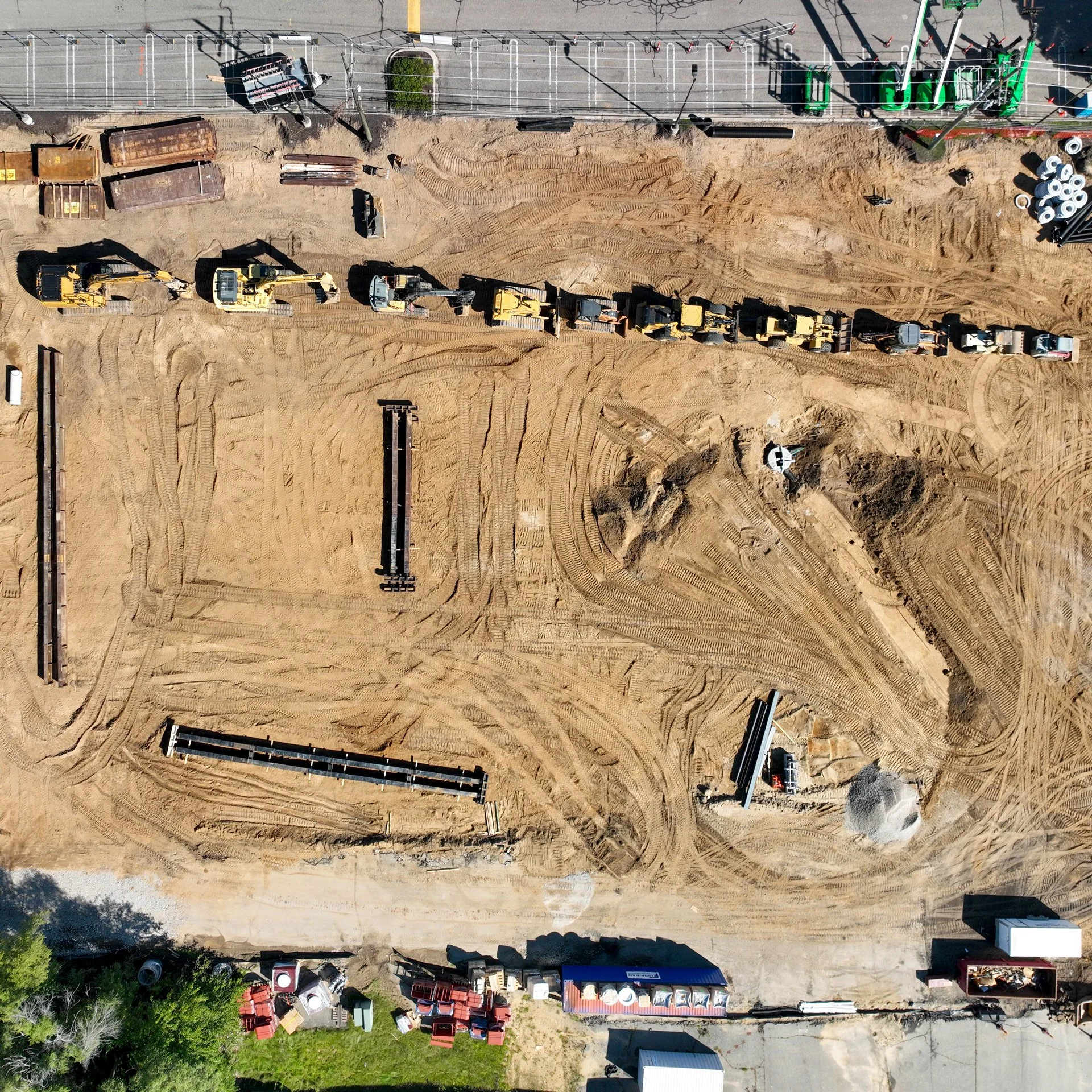
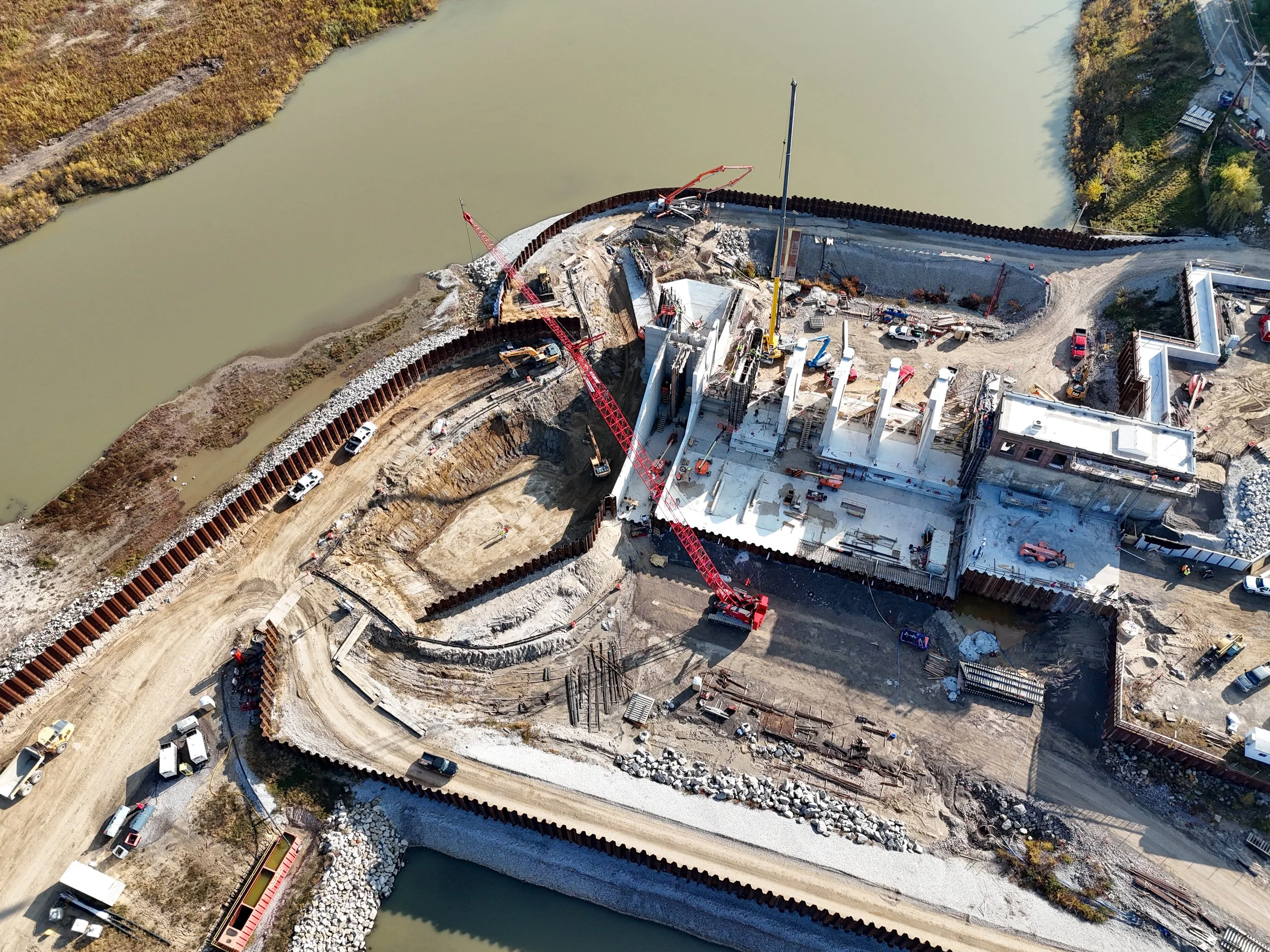
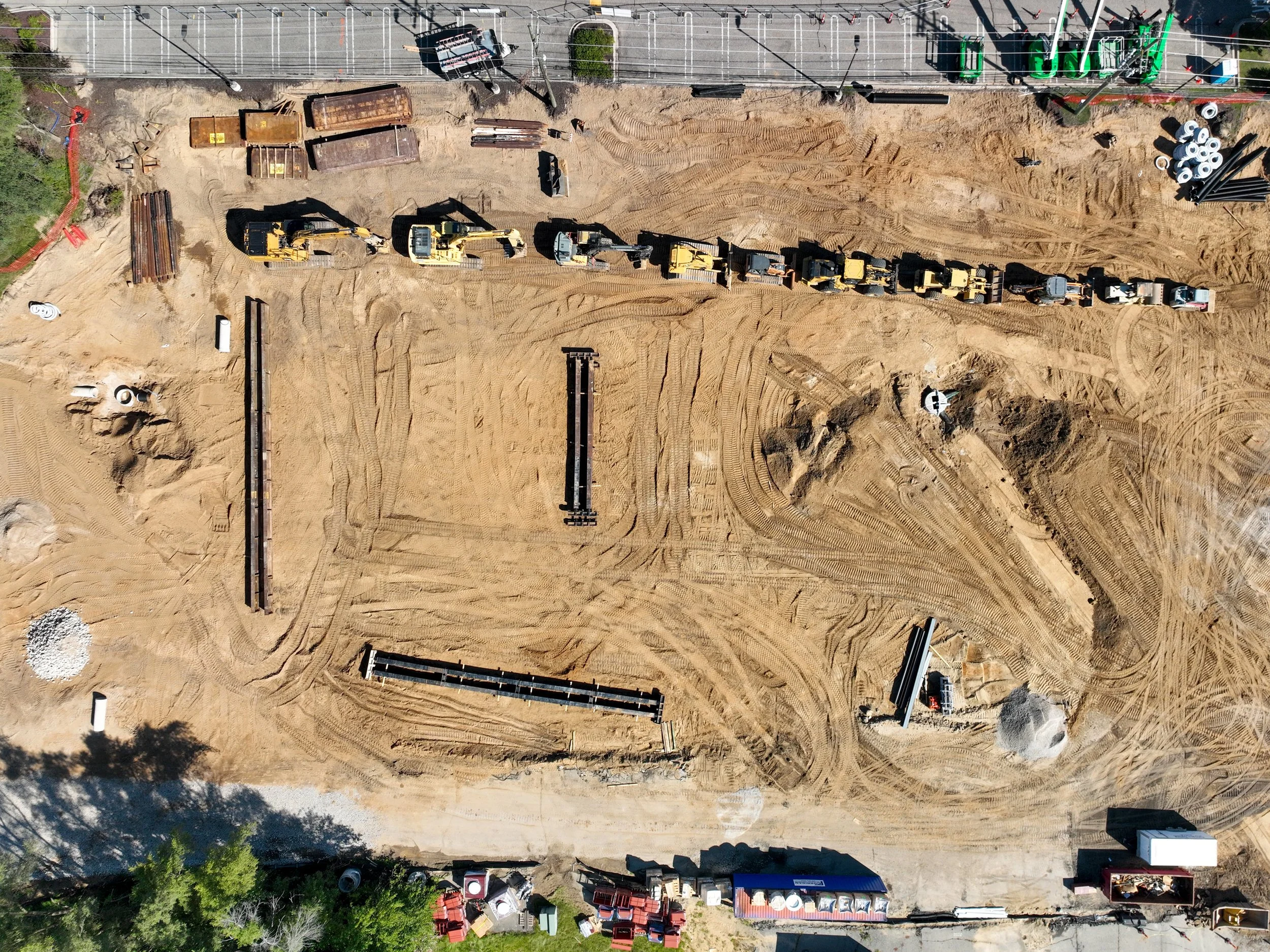
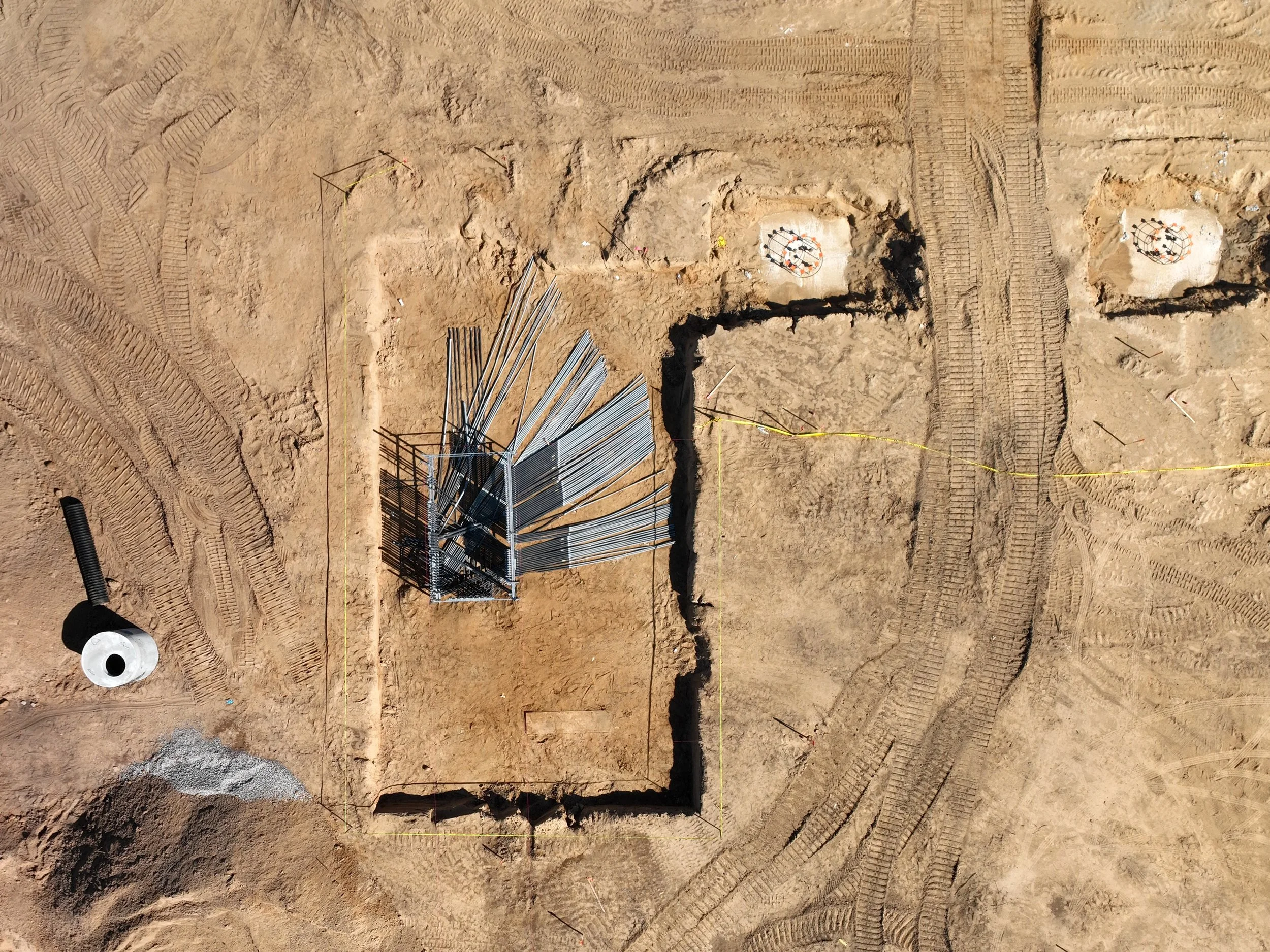
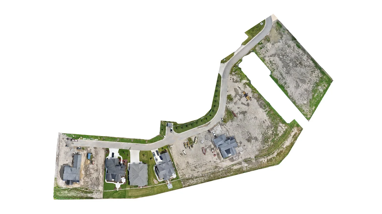
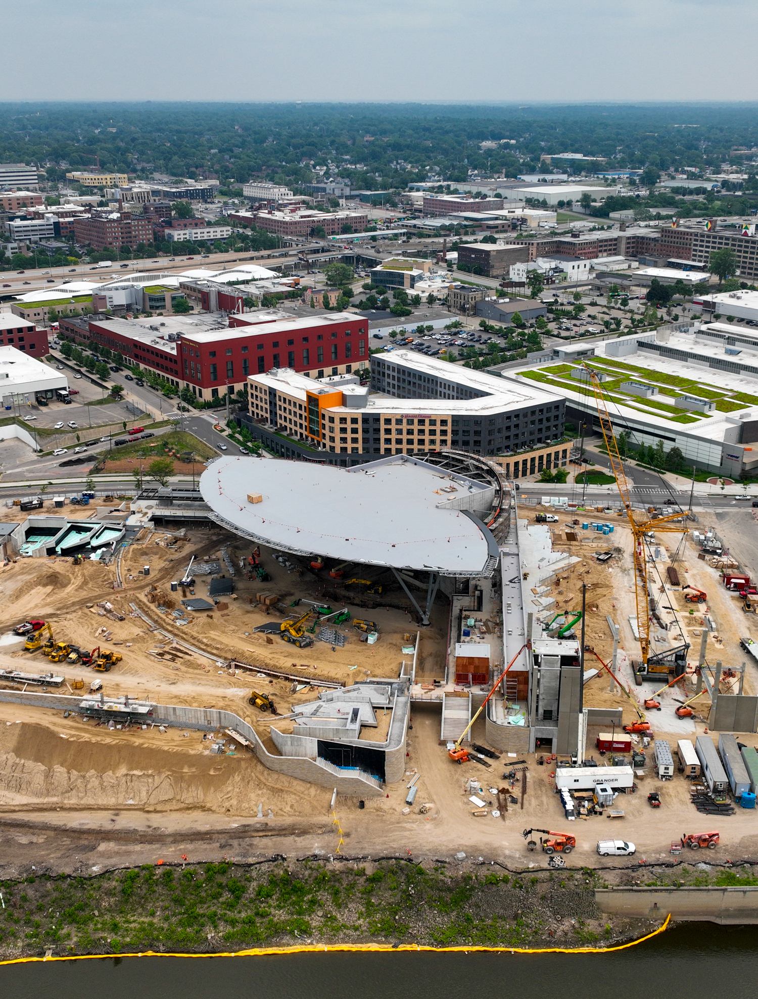
From groundbreaking to completion, aerial photography provides invaluable insights into every stage of a construction project. We specialize in orthomosaic mapping, progress monitoring, marketing production, and stakeholder updates, delivering high-resolution imagery for residential, commercial, and industrial sites. Our drone services help construction teams track developments, document milestones, and showcase projects with professional-grade visuals. Explore our portfolio to see how aerial photography can elevate your next build.


Get a Detailed Proposal
Interested in working together? Fill out some info and we will be in touch soon. We can't wait to hear from you!
Additional FAA waivers/approvals extra, if required. Prices subject to change. Please see Terms for full conditions. Thumb Drone LLC provides aerial mapping for visualization and documentation only. We are not a licensed surveyor. For survey-grade requirements, please consult a licensed surveying professional.